2005
NY1155 : Sea Defences and housing, Silloth
taken 19 years ago, near to Skinburness, Cumbria, England
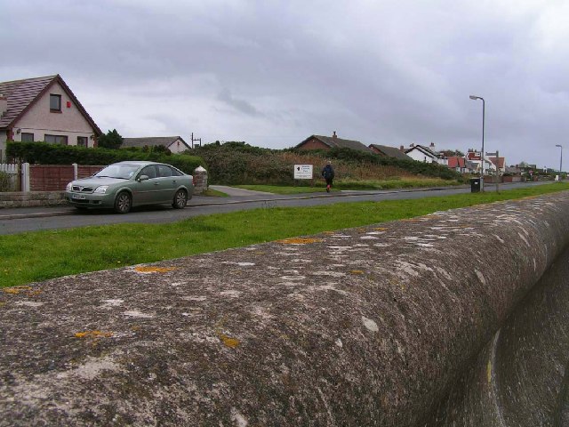
Sea Defences and housing, Silloth
Although clearly marked as East Cote on the OS Maps, this area is called Secote on local signage. It is typical of the ribbon of development that runs from Silloth to Skinburness. The picture was taken from the very robust sea wall, which can be seen in the foreground.
 Map © Crown Copyright")
TIP: Click the map for more Large scale mapping
- Grid Square
- NY1155, 12 images (more nearby 🔍)
- Photographer
- Nigel Monckton (more nearby)
- Date Taken
- Sunday, 9 October, 2005 (more nearby)
- Submitted
- Monday, 10 October, 2005
- Subject Location
-
OSGB36:
 NY 118 552 [100m precision]
WGS84: 54:53.0244N 3:22.5817W