2019
SD7874 : View of upper Ribblesdale
taken 5 years ago, near to Selside, North Yorkshire, England
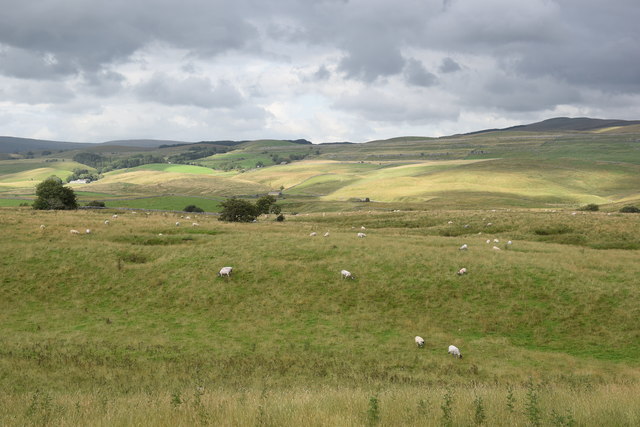
View of upper Ribblesdale
 Map © Crown Copyright")
TIP: Click the map for more Large scale mapping
- Grid Square
- SD7874, 38 images (more nearby 🔍)
- Photographer
- Bill Harrison (more nearby)
- Date Taken
- Tuesday, 6 August, 2019 (more nearby)
- Submitted
- Tuesday, 24 December, 2019
- Subject Location
-
OSGB36:
 SD 7884 7480 [10m precision]
WGS84: 54:10.1134N 2:19.5365W - Camera Location
-
OSGB36: SD 7878 7464
- View Direction
- North-northeast (about 22 degrees)