2019
TA0824 : New Holland Dock and Pier: aerial 2019
taken 4 years ago, near to New Holland, North Lincolnshire, England
This is 1 of 48 images, with title starting with New Holland Dock in this square
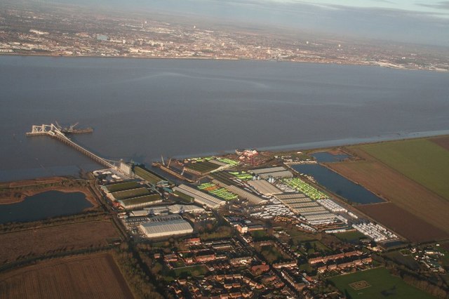
New Holland Dock and Pier: aerial 2019
 Map © Crown Copyright")
TIP: Click the map for more Large scale mapping
- Grid Square
- TA0824, 259 images (more nearby 🔍)
- Photographer
- Simon Tomson (more nearby)
- Contributed by
- Chris (more nearby)
- Date Taken
- Wednesday, 25 December, 2019 (more nearby)
- Submitted
- Thursday, 26 December, 2019
- Subject Location
-
OSGB36:
 TA 0841 2425 [10m precision]
WGS84: 53:42.2061N 0:21.5547W - Camera Location
-
OSGB36: TA 07952 23043
- View Direction
- North-northeast (about 22 degrees)