2019
ST4838 : Porchestall Drove
taken 4 years ago, near to Glastonbury, Somerset, England
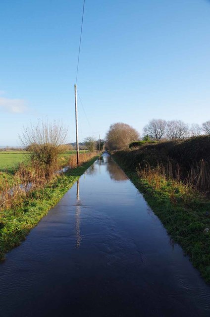
Porchestall Drove
The drove looked more like a canal
 Map © Crown Copyright")
TIP: Click the map for more Large scale mapping
- Grid Square
- ST4838, 52 images (more nearby 🔍)
- Photographer
- Glyn Baker (more nearby)
- Date Taken
- Saturday, 21 December, 2019 (more nearby)
- Submitted
- Monday, 30 December, 2019
- Subject Location
-
OSGB36:
 ST 4811 3865 [10m precision]
WGS84: 51:8.6850N 2:44.5900W - Camera Location
-
OSGB36: ST 4805 3862
- View Direction
- East-northeast (about 67 degrees)