2020
ST4273 : The Walton Brook on Moor Lane
taken 4 years ago, near to Walton in Gordano, North Somerset, England
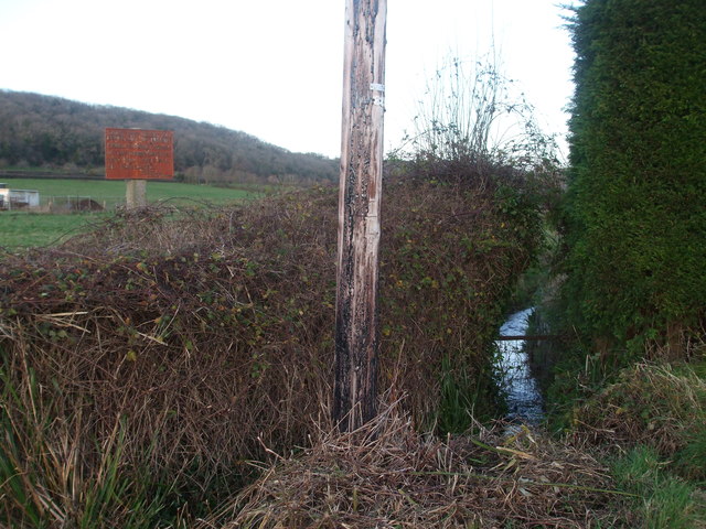
The Walton Brook on Moor Lane
The land near Walton-in-Gordano drops from the limestone ridge and heads across what becomes a large, flat and watery expanse of the Gordano Valley. See ST4273 : By order of the Clerk of the Board for a look at the old sign.
 Map © Crown Copyright")
TIP: Click the map for more Large scale mapping
- Grid Square
- ST4273, 82 images (more nearby 🔍)
- Photographer
- Neil Owen (more nearby)
- Date Taken
- Friday, 3 January, 2020 (more nearby)
- Submitted
- Saturday, 4 January, 2020
- Subject Location
-
OSGB36:
 ST 4284 7306 [10m precision]
WGS84: 51:27.2173N 2:49.4411W - Camera Location
-
OSGB36: ST 4283 7305
- View Direction
- East-northeast (about 67 degrees)