2020
TF3473 : Farmland between Somersby and Tetford: aerial 2020
taken 4 years ago, near to Somersby, Lincolnshire, England
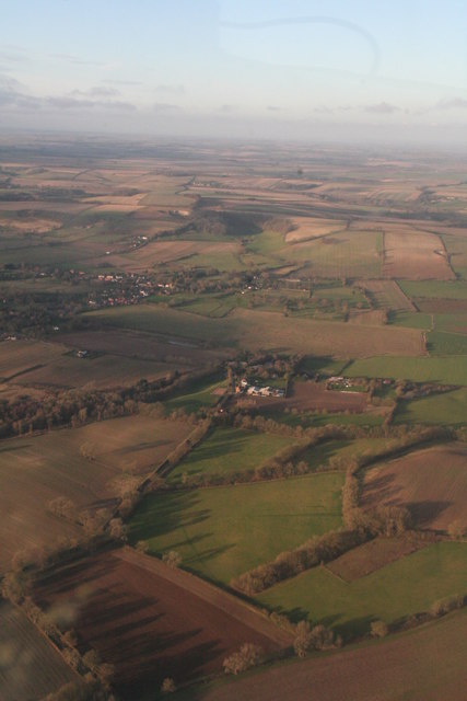
Farmland between Somersby and Tetford: aerial 2020
 Map © Crown Copyright")
TIP: Click the map for more Large scale mapping
- Grid Square
- TF3473, 30 images (more nearby 🔍)
- Photographer
- Chris (more nearby)
- Date Taken
- Saturday, 4 January, 2020 (more nearby)
- Submitted
- Monday, 6 January, 2020
- Subject Location
-
OSGB36:
 TF 3404 7363 [10m precision]
WGS84: 53:14.5667N 0:0.4314E - Camera Location
-
OSGB36: TF 3457 7265
- View Direction
- North-northwest (about 337 degrees)