2020
SE8628 : Muddy Track
taken 4 years ago, near to Broomfleet, East Riding of Yorkshire, England
This is 1 of 3 images, with title Muddy Track in this square
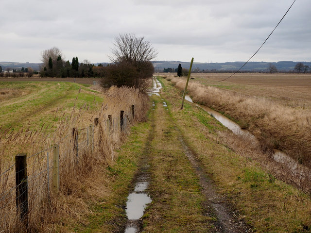
Muddy Track
The land around here is very flat barely above sea level - the map showing just 1 metre high.
 Map © Crown Copyright")
TIP: Click the map for more Large scale mapping
- Grid Square
- SE8628, 33 images (more nearby 🔍)
- Photographer
- Andy Beecroft (more nearby)
- Date Taken
- Thursday, 9 January, 2020 (more nearby)
- Submitted
- Thursday, 9 January, 2020
- Subject Location
-
OSGB36:
 SE 8697 2818 [10m precision]
WGS84: 53:44.5653N 0:40.9690W - Camera Location
-
OSGB36: SE 8681 2811
- View Direction
- East-northeast (about 67 degrees)