2019
TL3591 : B1093 Benwick Road, Ranson Moor, March
taken 5 years ago, near to Benwick, Cambridgeshire, England
This is 1 of 2 images, with title B1093 Benwick Road, Ranson Moor, March in this square
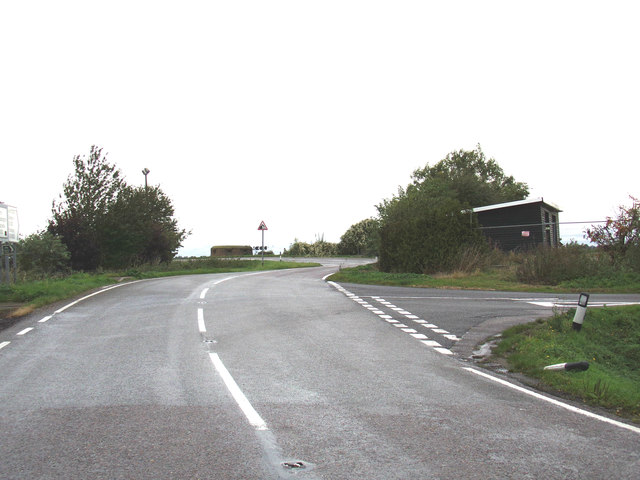
B1093 Benwick Road, Ranson Moor, March
At the junction with Floods Ferry Road & Copalder Corner
Ranson Moor, Cambridgeshire :: TL3693
Ranson Moor is a hamlet in Cambridgeshire near Botany Bay, Town End & Benwick
 Map © Crown Copyright")
TIP: Click the map for more Large scale mapping
- Grid Square
- TL3591, 18 images (more nearby 🔍)
- Photographer
- Geographer (more nearby)
- Date Taken
- Sunday, 13 October, 2019 (more nearby)
- Submitted
- Saturday, 11 January, 2020
- Subject Location
-
OSGB36:
 TL 35702 91195 [1m precision]
WGS84: 52:30.1066N 0:0.1349W - Camera Location
-
OSGB36: TL 35721 91187
- View Direction
- West-northwest (about 292 degrees)