2020
SD1777 : View to the Outer Barrier
taken 4 years ago, near to Haverigg, Cumbria, England
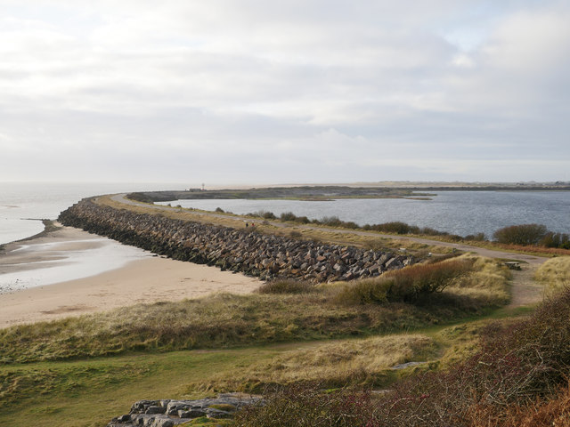
View to the Outer Barrier
Constructed between 1900 and 1905 to protect the Hodbarrow Mines from tidal inundation. The 'lagoon' is now a RSPB nature reserve.
 Map © Crown Copyright")
TIP: Click the map for more Large scale mapping
- Grid Square
- SD1777, 31 images (more nearby 🔍)
- Photographer
- James T M Towill (more nearby)
- Date Taken
- Saturday, 4 January, 2020 (more nearby)
- Submitted
- Saturday, 11 January, 2020
- Subject Location
-
OSGB36:
 SD 1762 7792 [10m precision]
WGS84: 54:11.4242N 3:15.8412W - Camera Location
-
OSGB36: SD 1825 7818
- View Direction
- West-southwest (about 247 degrees)