2019
SH6858 : Old Boundary Wall on Gallt yr Ogof
taken 4 years ago, 3 km from Capel Curig, Conwy, Wales
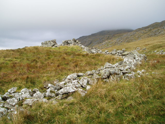
Old Boundary Wall on Gallt yr Ogof
 Map © Crown Copyright")
TIP: Click the map for more Large scale mapping
- Grid Square
- SH6858, 18 images (more nearby 🔍)
- Photographer
- Chris Andrews (more nearby)
- Date Taken
- Wednesday, 23 October, 2019 (more nearby)
- Submitted
- Saturday, 11 January, 2020
- Subject Location
-
OSGB36:
 SH 6895 5833 [10m precision]
WGS84: 53:6.3611N 3:57.5432W - Camera Location
-
OSGB36: SH 6898 5834
- View Direction
- West-southwest (about 247 degrees)