J0923 : Newry Canal boat launching point on the Fathom Line
taken 6 years ago, 4 km SSE of Newry, Co Down, Northern Ireland
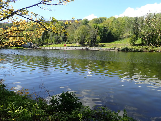
Newry Canal boat launching point on the Fathom Line
The image was taken from the Newry Greenway.
![Creative Commons Licence [Some Rights Reserved]](https://s1.geograph.org.uk/img/somerights20.gif)
|
· Find out How to reuse this image ·
Share:
|
|||||
| Start a discussion on J0923 | Suggest an update to this image | Contact the contributor | |||
Loading map... (JavaScript required)
- Grid Square
- J0923, 56 images (more nearby
 )
)
- Photographer
- Eric Jones (find more nearby)
- Date Taken
- Saturday, 12 May, 2018 (more nearby)
- Submitted
- Sunday, 12 January, 2020
- Geographical Context
- Subject Location
-
Irish:
 J 097 230 [100m precision]
WGS84: 54:8.6771N 6:19.2576W - Camera Location
-
Irish: J 098 230
- View Direction
- Southwest (about 225 degrees)
This page has been viewed about 31 times.
View this location:
KML (Google Earth) ·
Google Maps ·
Bing Maps ·
Geograph Coverage Map ·
More Links for this image
·
Bing Maps ·
Geograph Coverage Map ·
More Links for this image