2019
SO5265 : Road, Ashwood Park Farm
taken 5 years ago, near to Ashton, County of Herefordshire, England
This is 1 of 2 images, with title Road, Ashwood Park Farm in this square
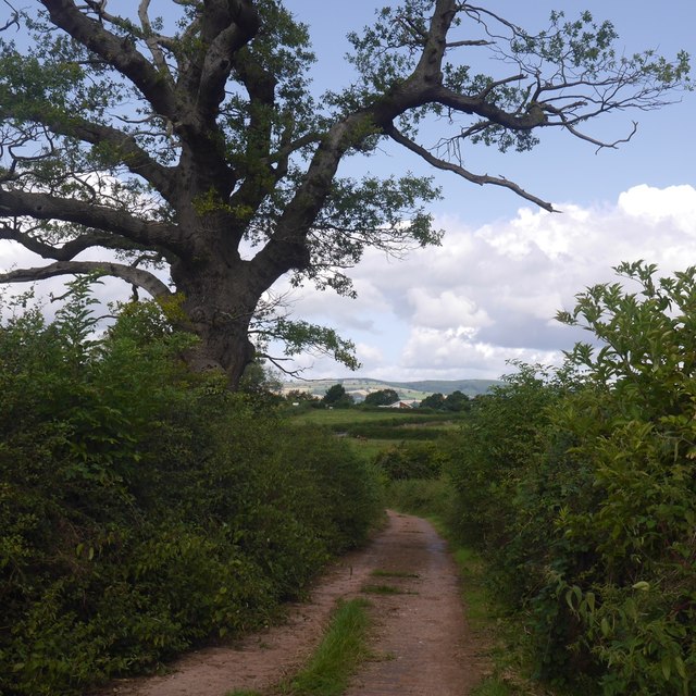
Road, Ashwood Park Farm
High Vinnalls in the background.
 Map © Crown Copyright")
TIP: Click the map for more Large scale mapping
- Grid Square
- SO5265, 11 images (more nearby 🔍)
- Photographer
- Richard Webb (more nearby)
- Date Taken
- Tuesday, 13 August, 2019 (more nearby)
- Submitted
- Thursday, 16 January, 2020
- Subject Location
-
OSGB36:
 SO 5249 6579 [10m precision]
WGS84: 52:17.2908N 2:41.8765W - Camera Location
-
OSGB36: SO 5250 6577
- View Direction
- North-northwest (about 337 degrees)