2020
SK5959 : The site of the former Rufford Colliery
taken 4 years ago, near to Rainworth, Nottinghamshire, England
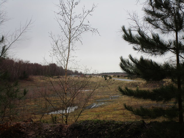
The site of the former Rufford Colliery
The first shafts were sunk in 1911 and the mine closed in 1993.
 Map © Crown Copyright")
TIP: Click the map for more Large scale mapping
- Grid Square
- SK5959, 14 images (more nearby 🔍)
- Photographer
- Jonathan Thacker (more nearby)
- Date Taken
- Friday, 17 January, 2020 (more nearby)
- Submitted
- Friday, 17 January, 2020
- Subject Location
-
OSGB36:
 SK 5945 5991 [10m precision]
WGS84: 53:7.9826N 1:6.7730W - Camera Location
-
OSGB36: SK 5916 5962
- View Direction
- Northeast (about 45 degrees)