Geograph - photograph every grid square
2020
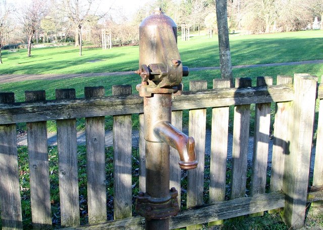
TG2209
: Allweiler water pump (detail)
taken
4 years ago
,
near
to
Norwich
, Norfolk, England
This is 1 of
4 images, with title Allweiler water pump (detail)
in this square
Allweiler water pump (detail)
For a full view of this pump and some information see >
Link
.
© Copyright
Evelyn Simak
and licensed for
reuse
under this
Creative Commons Licence
.
Licensing
Download
More Sizes
Share...
Share this photo via Twitter
Share this photo via Facebook
Share this photo via Pinterest
Share this photo via Flipboard
Share this photo via email/e-card
Grab a Stamped/Watermarked Image
Mark
👍🏻
Like Image
👍🏻
Like Description
Update Information
Contact Contributor
Geographical Context:
Historic sites and artefacts
Public buildings and spaces
City, Town centre
TIP: Click the map for more Large scale mapping
Grid Square
TG2209
, 1170 images (
more nearby
🔍
)
Photographer
Evelyn Simak
(
more nearby
)
Date Taken
Saturday, 18 January, 2020 (
more nearby
)
Submitted
Sunday, 19 January, 2020
Subject Location
OSGB36:
TG 2248 0974
[10m precision]
WGS84:
52:38.3857N
1:17.2067E
Camera Location
OSGB36:
TG 2248 0974
View Direction
North-northeast (about 22 degrees)
NW
N
NE
W
Go
E
SW
S
SE
View Discussion for TG2209
View this location on ...
Geograph Coverage Map (includes OSM etc)
Geograph Links Page
Open in Google Maps
Navigate to location with Google Maps
Open in Google Earth Pro
Open in Google Earth for Web
Open in Bing Maps
Navigate with Google Maps
Lookup nearest Postcode
Image Type
(about)
:
close look
This page has been
viewed
about
25
times
☰
Home
View
Search
Marked Images
Maps
Browser
Explore
Showcase
New Images
Collections
Interact
Games
Discussions
Blog
Contributors
Submit
Statistics
Leaderboards
General
FAQ
Help Pages
Sitemap
Contact Us
Support Us
sponsored by
Discussion on TG2209
I think the path you are talking about is Marriott's Way - running from Norwich to Reepham on the course of an old railway. It's part of National Cycle Route 1 (Harwich to Hull).
http://www.sustrans.org.uk/default.asp?sID=1104929243171
Contact Planning and Transportation at Norfolk County Council (pt@norfolk.gov.uk) for a route map / information leaflet.
🔍
What to search:
Photos
Enter keywords or a location/postcode to search nearby images
Photos near TG2209
Enter a Grid Reference
Placenames
Collections
Website Pages
Everything
Others:
Advanced Search
|
Image Browser
Or:
Coverage Map
|
Searchable Map
You are not logged in
login
|
register