2020
SK5911 : A6 Loughborough Road towards Rothley
taken 4 years ago, near to Rothley, Leicestershire, England
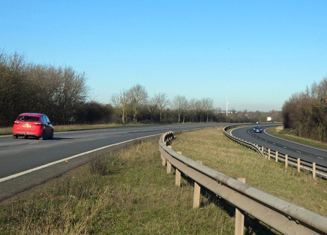
A6 Loughborough Road towards Rothley
The A6 is Britain's fourth longest road and one of the main historic north-south roads in England. It currently runs for 299 miles from Luton in Bedfordshire to Carlisle in Cumbria, although it formerly started at a junction with the A1 at Barnet.
Running north west from Luton, the road travels through Bedford, bypasses Rushden, Kettering and Market Harborough, continues through Leicester, Loughborough, Derby and Matlock before going through the Peak District to Bakewell, Buxton, Stockport, Manchester, Salford, Pendleton, Irlams o' th' Height, Pendlebury, Swinton, Walkden, Little Hulton, Bolton, Chorley, Preston, Lancaster, Kendal and Penrith before reaching Carlisle.
See Link (Wikipedia) and Link (SABRE) for more information.
See other images of The A6
Running north west from Luton, the road travels through Bedford, bypasses Rushden, Kettering and Market Harborough, continues through Leicester, Loughborough, Derby and Matlock before going through the Peak District to Bakewell, Buxton, Stockport, Manchester, Salford, Pendleton, Irlams o' th' Height, Pendlebury, Swinton, Walkden, Little Hulton, Bolton, Chorley, Preston, Lancaster, Kendal and Penrith before reaching Carlisle.
See Link
See other images of The A6
 Map © Crown Copyright")
TIP: Click the map for more Large scale mapping
- Grid Square
- SK5911, 32 images (more nearby 🔍)
- Photographer
- Mat Fascione (more nearby)
- Date Taken
- Sunday, 19 January, 2020 (more nearby)
- Submitted
- Sunday, 19 January, 2020
- Subject Location
-
OSGB36:
 SK 590 119 [100m precision]
WGS84: 52:42.1206N 1:7.6361W - Camera Location
-
OSGB36: SK 590 119
- View Direction
- NORTH (about 0 degrees)