2013
SN4732 : Fferm Wynt Alltwalis yn yr eira / Alltwalis Wind Farm in the snow
taken 11 years ago, 3 km from Gwyddgrug, Carmarthenshire/Sir Gaerfyrddin, Wales
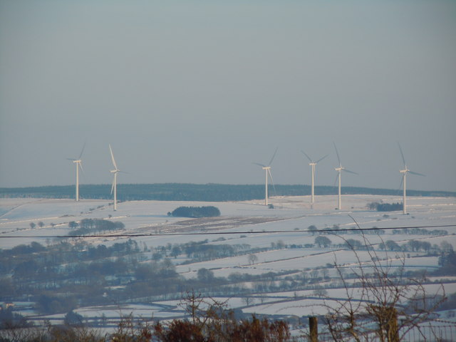
Fferm Wynt Alltwalis yn yr eira / Alltwalis Wind Farm in the snow
 Map © Crown Copyright")
TIP: Click the map for more Large scale mapping
- Grid Square
- SN4732, 4 images (more nearby 🔍)
- Photographer
- David Jones (more nearby)
- Date Taken
- Thursday, 24 January, 2013 (more nearby)
- Submitted
- Monday, 20 January, 2020
- Subject Location
-
OSGB36:
 SN 4732 3299 [10m precision]
WGS84: 51:58.4607N 4:13.4535W - Camera Location
-
OSGB36: SN 4061 3435
- View Direction
- East-southeast (about 112 degrees)