2020
SX8954 : Alston Lane
taken 4 years ago, near to Churston Ferrers, Torbay, England
This is 1 of 3 images, with title Alston Lane in this square
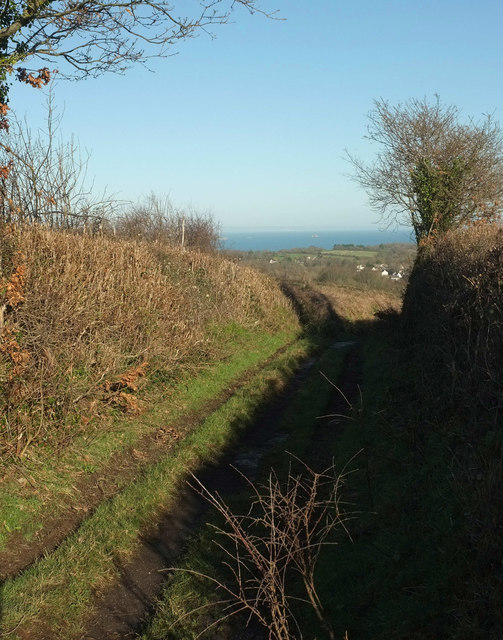
Alston Lane
A green lane and route with public access linking Kennels Road to Churston Cross, seen from where SX8954 : Field by Alston Lane was taken.
 Map © Crown Copyright")
TIP: Click the map for more Large scale mapping
- Grid Square
- SX8954, 71 images (more nearby 🔍)
- Photographer
- Derek Harper (more nearby)
- Date Taken
- Sunday, 19 January, 2020 (more nearby)
- Submitted
- Friday, 24 January, 2020
- Subject Location
-
OSGB36:
 SX 8927 5496 [10m precision]
WGS84: 50:23.0444N 3:33.5308W - Camera Location
-
OSGB36: SX 8925 5494
- View Direction
- Northeast (about 45 degrees)