2020

SX8955 : Alston Lane

taken 4 years ago, near to Churston Ferrers, Torbay, England

This is 1 of 5 images, with title Alston Lane in this square
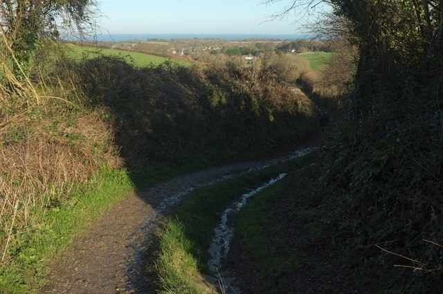
Alston Lane
Alston Lane
The green lane and route with public access makes a double bend nearly 200 metres from Kennels Road.

Creative Commons Licence [Some Rights Reserved]   © Copyright Derek Harper and licensed for reuse under this Creative Commons Licence.
Geographical Context: Coastal Lowlands Paths Farm, Fishery, Market Gardening Village, Rural settlement Long Distance Path: John Musgrave Heritage Trail other tags: Green Lane Route with Public Access Houses Sea Woods Farmland Click a tag, to view other nearby images.
This photo is linked from: Automatic Clusters: · Alston Lane to Kennels Road [11] · Green Lane and Route with Public Access [4] Title Clusters: · Alston Lane [5] ·
1:50,000 Modern Day Landranger(TM) Map © Crown Copyright
+
+
1:50,000 Modern Day Landranger(TM) Map © Crown Copyright
TIP: Click the map for more Large scale mapping
Grid Square
SX8955, 89 images   (more nearby 🔍)
Photographer
Derek Harper   (more nearby)
Date Taken
Sunday, 19 January, 2020   (more nearby)
Submitted
Friday, 24 January, 2020
Subject Location
OSGB36: geotagged! SX 8936 5504 [10m precision]
WGS84: 50:23.0885N 3:33.4563W
Camera Location
OSGB36: geotagged! SX 8935 5503
View Direction
Northeast (about 45 degrees)
Clickable map
+
NW N NE
W Go E
SW S SE
Image Type (about): geograph 
This page has been viewed about 13 times
You are not logged in login | register