2020
SU9415 : Crossroads at Crown Tegleaze
taken 4 years ago, near to East Lavington, West Sussex, England
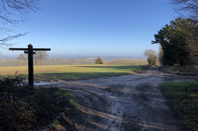
Crossroads at Crown Tegleaze
Heading towards Duncton at the point where the bridleway crosses the South Downs Way.
 Map © Crown Copyright")
TIP: Click the map for more Large scale mapping
- Grid Square
- SU9415, 25 images (more nearby 🔍)
- Photographer
- Chris Thomas-Atkin (more nearby)
- Date Taken
- Sunday, 19 January, 2020 (more nearby)
- Submitted
- Sunday, 26 January, 2020
- Subject Location
-
OSGB36:
 SU 9426 1554 [10m precision]
WGS84: 50:55.8971N 0:39.6024W - Camera Location
-
OSGB36: SU 94259 15543
- View Direction
- East-northeast (about 67 degrees)