2020
NT2440 : River Tweed subsiding after Storm Ciara
taken 4 years ago, near to Peebles, Scottish Borders, Scotland
This is 1 of 7 images, with title starting with River Tweed in this square
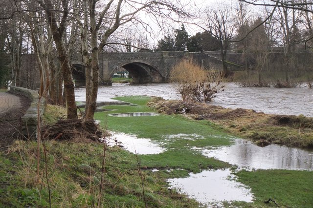
River Tweed subsiding after Storm Ciara
The water level coming down here after heavy rain Saturday to Sunday 9th swelled the Tweed, though fortunately not approaching the record flood of December 2015.
 Map © Crown Copyright")
TIP: Click the map for more Large scale mapping
- Grid Square
- NT2440, 499 images (more nearby 🔍)
- Photographer
- Jim Barton (more nearby)
- Date Taken
- Monday, 10 February, 2020 (more nearby)
- Submitted
- Friday, 14 February, 2020
- Subject Location
-
OSGB36:
 NT 2496 4033 [10m precision]
WGS84: 55:39.0412N 3:11.6406W - Camera Location
-
OSGB36: NT 2489 4036
- View Direction
- East-southeast (about 112 degrees)