2020
SN7005 : Llwybr i Heol Penlan / Path to Penlan Road
taken 4 years ago, near to Rhyd-y-Fro, Neath Port Talbot/Castell-Nedd Port Talbot, Wales
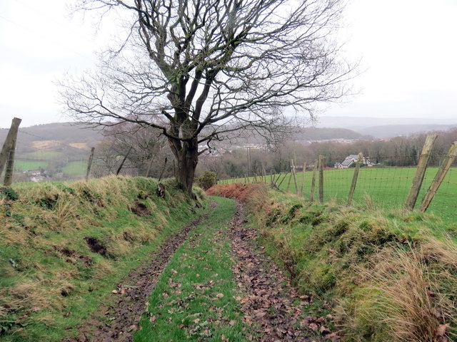
Llwybr i Heol Penlan / Path to Penlan Road
Llwybr cyhoeddus yn mynd i lawr y waered i gyfeiriad Heol Penlan.
A public footpath descending in the direction of Penlan (trans. hill top) Road.
A public footpath descending in the direction of Penlan (trans. hill top) Road.
 Map © Crown Copyright")
TIP: Click the map for more Large scale mapping
- Grid Square
- SN7005, 7 images (more nearby 🔍)
- Photographer
- Alan Richards (more nearby)
- Date Taken
- Tuesday, 18 February, 2020 (more nearby)
- Submitted
- Tuesday, 18 February, 2020
- Subject Location
-
OSGB36:
 SN 7081 0543 [10m precision]
WGS84: 51:43.9590N 3:52.3289W - Camera Location
-
OSGB36: SN 7077 0542
- View Direction
- East-northeast (about 67 degrees)