2020
SS7639 : Ruined barn west of Simonsbath on B3358
taken 4 years ago, near to Simonsbath, Somerset, England
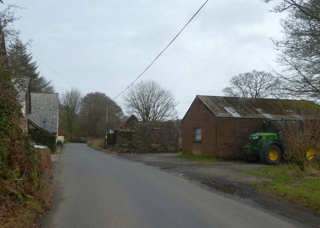
Ruined barn west of Simonsbath on B3358
 Map © Crown Copyright")
TIP: Click the map for more Large scale mapping
- Grid Square
- SS7639, 21 images (more nearby 🔍)
- Photographer
- David Smith (more nearby)
- Date Taken
- Sunday, 23 February, 2020 (more nearby)
- Submitted
- Thursday, 27 February, 2020
- Subject Location
-
OSGB36:
 SS 7687 3919 [10m precision]
WGS84: 51:8.3220N 3:45.6832W - Camera Location
-
OSGB36: SS 76842 39192
- View Direction
- EAST (about 90 degrees)