S4943 : Mill leat overflow, Kells Flour Mill
taken 11 years ago, near to Kells, Co Kilkenny, Ireland
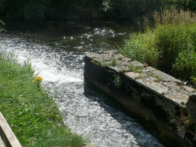
Mill leat overflow, Kells Flour Mill
The King's River provided the power for the mill's waterwheel
![Creative Commons Licence [Some Rights Reserved]](https://s1.geograph.org.uk/img/somerights20.gif)
|
· Find out How to reuse this image ·
Share:
|
|||||
| Start a discussion on S4943 | Suggest an update to this image | Contact the contributor | |||
Loading map... (JavaScript required)
- Grid Square
- S4943, 88 images (more nearby
 )
)
- Photographer
- Eirian Evans (find more nearby)
- Date Taken
- Thursday, 29 August, 2013 (more nearby)
- Submitted
- Friday, 6 March, 2020
- Geographical Context
- Primary Subject of Photo
- Subject Location
-
Irish:
 S 496 435 [100m precision]
WGS84: 52:32.4599N 7:16.1463W - Camera Location
-
Irish: S 496 435
- View Direction
- East-northeast (about 67 degrees)
Image Type (about):
close look
This page has been viewed about 26 times.
View this location:
KML (Google Earth) ·
Google Maps ·
Bing Maps ·
Geograph Coverage Map ·
More Links for this image
·
Bing Maps ·
Geograph Coverage Map ·
More Links for this image