2020
SO0659 : Llwybr o dan Broomy Hill / Path below Broomy Hill
taken 4 years ago, near to Howey, Powys, Wales
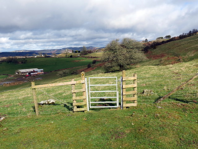
Llwybr o dan Broomy Hill / Path below Broomy Hill
Llwybr o dan Broomy Hill yn mynd i gyfeiriad Hen Eglwys y Plwyf, Llandrindod sy'n weladwy yn y pellter.
Path below Broomy Hill heading towards Llandrindod Wells Old Parish Church visible in the distance.
Path below Broomy Hill heading towards Llandrindod Wells Old Parish Church visible in the distance.
 Map © Crown Copyright")
TIP: Click the map for more Large scale mapping
- Grid Square
- SO0659, 13 images (more nearby 🔍)
- Photographer
- Alan Richards (more nearby)
- Date Taken
- Wednesday, 11 March, 2020 (more nearby)
- Submitted
- Wednesday, 11 March, 2020
- Subject Location
-
OSGB36:
 SO 0665 5959 [10m precision]
WGS84: 52:13.5943N 3:22.0864W - Camera Location
-
OSGB36: SO 0667 5956
- View Direction
- North-northwest (about 337 degrees)