2020
TA0517 : Cycle route marker at Burnham Crossroads
taken 4 years ago, near to Burnham, North Lincolnshire, England
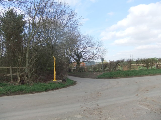
Cycle route marker at Burnham Crossroads
 Map © Crown Copyright")
TIP: Click the map for more Large scale mapping
- Grid Square
- TA0517, 51 images (more nearby 🔍)
- Photographer
- David Brown (more nearby)
- Date Taken
- Monday, 16 March, 2020 (more nearby)
- Submitted
- Monday, 16 March, 2020
- Subject Location
-
OSGB36:
 TA 0597 1706 [10m precision]
WGS84: 53:38.3601N 0:23.9186W - Camera Location
-
OSGB36: TA 0597 1705
- View Direction
- North-northwest (about 337 degrees)