O1334 : R109
taken 6 years ago, near to Islandbridge, Dublin, Ireland
This is 1 of 2 images, with title R109 in this square
R109
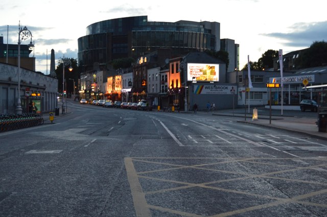
The R109 is an east - west road in West Dublin. It runs 4.4km from Kylemore Road in the Dublin suburb of Chapelizod to Frank Sherwin Bridge.
See other images of R109 Road
See other images of R109 Road
![Creative Commons Licence [Some Rights Reserved]](https://s1.geograph.org.uk/img/somerights20.gif)
|
· Find out How to reuse this image ·
Share:
|
|||||
| Start a discussion on O1334 | Suggest an update to this image | Contact the contributor | |||
Loading map... (JavaScript required)
- Grid Square
- O1334, 166 images (more nearby
 )
)
- Photographer
- N Chadwick (find more nearby)
- Date Taken
- Friday, 3 August, 2018 (more nearby)
- Submitted
- Wednesday, 25 March, 2020
- Geographical Context
- Subject Location
-
Irish:
 O 137 344 [100m precision]
WGS84: 53:20.8754N 6:17.5783W - Camera Location
-
Irish: O 137 344
- View Direction
- West-northwest (about 292 degrees)
This page has been viewed about 24 times.
View this location:
KML (Google Earth) ·
Google Maps ·
Bing Maps ·
Geograph Coverage Map ·
More Links for this image
·
Bing Maps ·
Geograph Coverage Map ·
More Links for this image