M2925 : End of the Eglinton Canal
taken 6 years ago, near to Salthill, Co Galway, Ireland
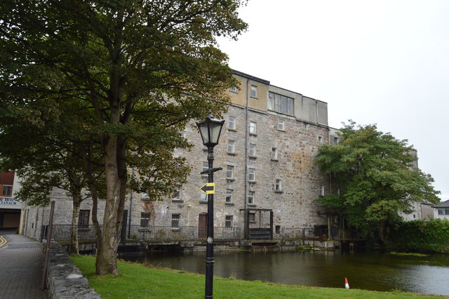
End of the Eglinton Canal
The Eglinton Canal was constructed between 1850 and 1852 for three purposes. The first was to connect Lough Corrib to the sea at Galway so that goods could be transported in both directions. The second was to provide a more reliable flow of water to power the many mills that were already located along the natural rivers. The third reason was to provide paid employment during the famine period. The walls of the Canal were constructed of black limestone taken from the Angliham quarry in Menlo.
See other images of Eglinton Canal
See other images of Eglinton Canal
![Creative Commons Licence [Some Rights Reserved]](https://s1.geograph.org.uk/img/somerights20.gif)
|
· Find out How to reuse this image ·
Share:
|
|||||
| Start a discussion on M2925 | Suggest an update to this image | Contact the contributor | |||
Loading map... (JavaScript required)
- Grid Square
- M2925, 470 images (more nearby
 )
)
- Photographer
- N Chadwick (find more nearby)
- Date Taken
- Wednesday, 1 August, 2018 (more nearby)
- Submitted
- Thursday, 26 March, 2020
- Geographical Context
- Subject Location
-
Irish:
 M 294 252 [100m precision]
WGS84: 53:16.3996N 9:3.4584W - Camera Location
-
Irish: M 295 253
- View Direction
- Southwest (about 225 degrees)
This page has been viewed about 22 times.
View this location:
KML (Google Earth) ·
Google Maps ·
Bing Maps ·
Geograph Coverage Map ·
More Links for this image
·
Bing Maps ·
Geograph Coverage Map ·
More Links for this image