2020
SX6963 : Bridleway near Dockwell Farm
taken 4 years ago, near to Didworthy, Devon, England
This is 1 of 4 images, with title Bridleway near Dockwell Farm in this square
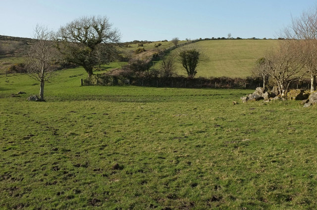
Bridleway near Dockwell Farm
This is roughly a reverse view of SX6963 : Rocks and trees near Dockwell Farm, with South Brent bridleway 28 keeping left of the oak on the corner SX6963 : Oak near Dockwell Farm; it then follows the stroll to the gate onto the open moor.
 Map © Crown Copyright")
TIP: Click the map for more Large scale mapping
- Grid Square
- SX6963, 25 images (more nearby 🔍)
- Photographer
- Derek Harper (more nearby)
- Date Taken
- Sunday, 22 March, 2020 (more nearby)
- Submitted
- Saturday, 28 March, 2020
- Subject Location
-
OSGB36:
 SX 6966 6349 [10m precision]
WGS84: 50:27.4033N 3:50.2501W - Camera Location
-
OSGB36: SX 6965 6349
- View Direction
- NORTH (about 0 degrees)