2016
SS8579 : Countryside by Redhill Roundabout
taken 8 years ago, near to Tythegston, Bridgend/Pen-y-Bont ar Ogwr, Wales
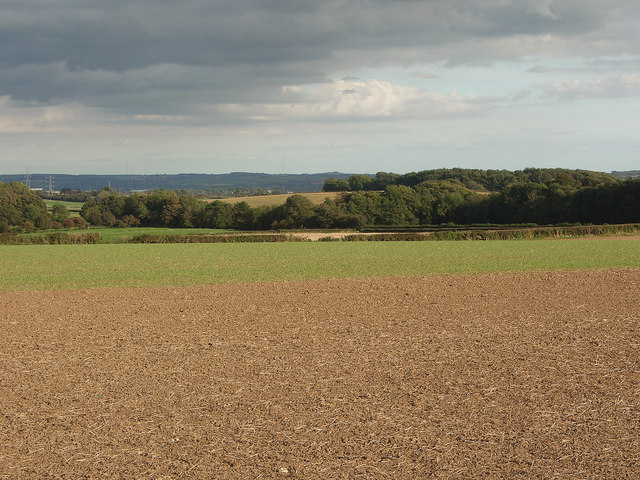
Countryside by Redhill Roundabout
Arable farmland sloping gently downwards to trees close to the A 4106.
The image is a view from a spot on a public footpath a little to the south of Ty-erfin.
The image is a view from a spot on a public footpath a little to the south of Ty-erfin.
 Map © Crown Copyright")
TIP: Click the map for more Large scale mapping
- Grid Square
- SS8579, 62 images (more nearby 🔍)
- Photographer
- eswales (more nearby)
- Date Taken
- Friday, 23 September, 2016 (more nearby)
- Submitted
- Monday, 6 April, 2020
- Subject Location
-
OSGB36:
 SS 859 795 [100m precision]
WGS84: 51:30.1996N 3:38.6941W - Camera Location
-
OSGB36: SS 854 796
- View Direction
- East-southeast (about 112 degrees)