2007
SN5562 : Gors-dalfa
taken 16 years ago, near to Bethania, Ceredigion/Sir Ceredigion, Wales
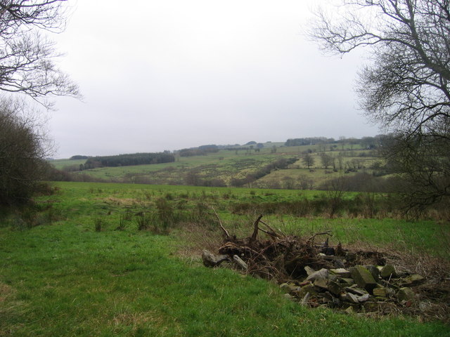
Gors-dalfa
Tir amaethyddol Fferm Gors-dalfa / Gors-dalfa Farmland
 Map © Crown Copyright")
TIP: Click the map for more Large scale mapping
- Grid Square
- SN5562 (more nearby 🔍)
- Photographer
- Ian Medcalf (more nearby)
- Date Taken
- Monday, 31 December, 2007 (more nearby)
- Submitted
- Monday, 31 December, 2007
- Subject Location
-
OSGB36:
 SN 557 627 [100m precision]
WGS84: 52:14.6279N 4:6.8429W - Camera Location
-
OSGB36: SN 554 629
- View Direction
- East-southeast (about 112 degrees)