J6173 : Ballywhiskin
taken 4 years ago, 3 km from Millisle, Co Down, Northern Ireland
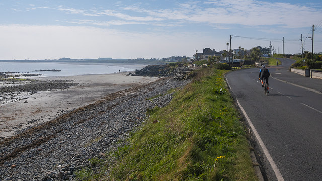
Ballywhiskin
The shoreline at Ballywhiskin on a fine April morning. Taken during the Coronavirus pandemic there was light traffic on the roads but plenty of cyclists taking their daily exercise - myself included.
Northern Ireland lockdowns
Images taken in Northern Ireland during the Coronavirus lockdowns in 2020 and 2021.
![Creative Commons Licence [Some Rights Reserved]](https://s1.geograph.org.uk/img/somerights20.gif)
|
· Find out How to reuse this image ·
Share:
|
|||||
| Start a discussion on J6173 | Suggest an update to this image | Contact the contributor | |||
Loading map... (JavaScript required)
- Grid Square
- J6173, 4 images (more nearby
 )
)
- Photographer
- Rossographer (find more nearby)
- Date Taken
- Saturday, 25 April, 2020 (more nearby)
- Submitted
- Sunday, 26 April, 2020
- Geographical Context
- Primary Subject of Photo
- Subject Location
-
Irish:
 J 614 734 [100m precision]
WGS84: 54:35.0117N 5:30.2371W - Camera Location
-
Irish: J 613 735
- View Direction
- South-southeast (about 157 degrees)
Other Tags
This page has been viewed about 25 times.
View this location:
KML (Google Earth) ·
Google Maps ·
Bing Maps ·
Geograph Coverage Map ·
More Links for this image
·
Bing Maps ·
Geograph Coverage Map ·
More Links for this image