2020
SZ0696 : Kinson: Durdells Avenue
taken 4 years ago, near to Kinson, Bournemouth, Christchurch & Poole, England
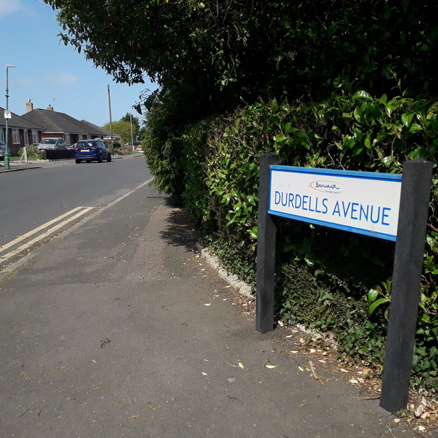
Kinson: Durdells Avenue
Durdells Avenue runs across the northwest corner of the West Howe council estate and may well have been the route of an original track between Poole Lane and Wimborne Road, before the area was built up. It contains mainly council bungalows at this southeast end, and private bungalows in the northwest half.
The sign is a modern one, from 2010-15 when this more modern, abstract emblem rather than the traditional town coat of arms as the working logo of the council.
This is photo no.120 of a series of 453 in my coronavirus lockdown walking project:
See Link for the complete set of photos.
The sign is a modern one, from 2010-15 when this more modern, abstract emblem rather than the traditional town coat of arms as the working logo of the council.
This is photo no.120 of a series of 453 in my coronavirus lockdown walking project:
See Link for the complete set of photos.
 Map © Crown Copyright")
TIP: Click the map for more Large scale mapping
- Grid Square
- SZ0696, 159 images (more nearby 🔍)
- Photographer
- Chris Downer (more nearby)
- Date Taken
- Monday, 13 April, 2020 (more nearby)
- Submitted
- Friday, 1 May, 2020
- Subject Location
-
OSGB36:
 SZ 0653 9616 [10m precision]
WGS84: 50:45.8996N 1:54.5265W - Camera Location
-
OSGB36: SZ 0656 9614
- View Direction
- West-northwest (about 292 degrees)