J3631 : View across grazing land towards of the flank of the High Mournes
taken 4 years ago, near to Newcastle, Co Down, Northern Ireland
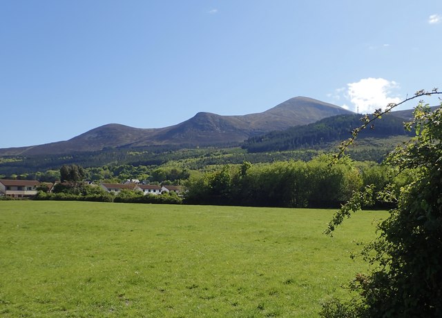
View across grazing land towards of the flank of the High Mournes
The image was taken from Tipperary Lane. The tallest peak is Slieve Donard, Northern Ireland's highest mountain.
![Creative Commons Licence [Some Rights Reserved]](https://s1.geograph.org.uk/img/somerights20.gif)
|
· Find out How to reuse this image ·
Share:
|
|||||
| Start a discussion on J3631 | Suggest an update to this image | Contact the contributor | |||
Loading map... (JavaScript required)
- Grid Square
- J3631, 217 images (more nearby
 )
)
- Photographer
- Eric Jones (find more nearby)
- Date Taken
- Wednesday, 13 May, 2020 (more nearby)
- Submitted
- Thursday, 14 May, 2020
- Geographical Context
- Subject Location
-
Irish:
 J 365 313 [100m precision]
WGS84: 54:12.7525N 5:54.4511W - Camera Location
-
Irish: J 366 315
- View Direction
- South-southwest (about 202 degrees)
This page has been viewed about 21 times.
View this location:
KML (Google Earth) ·
Google Maps ·
Bing Maps ·
Geograph Coverage Map ·
More Links for this image
·
Bing Maps ·
Geograph Coverage Map ·
More Links for this image