2020
SZ0796 : Kinson: Glendon Avenue
taken 4 years ago, near to Kinson, Bournemouth, Christchurch & Poole, England
Kinson: Glendon Avenue
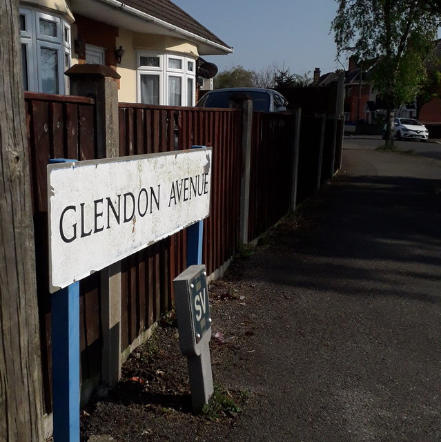
The bungalows on the left and the houses on the right are all quite desirable properties, typifying this part of Kinson north of Wimborne Road.
The sign is of a design that became prevalent in Bournemouth around 1990 and was in use for most of that decade. Many are starting to look a bit shabby now, and the blue border has faded almost to nothing on this one, with the white surface peeled off around the edges.
This is photo no.162 of a series of 453 in my coronavirus lockdown walking project:
See Link for the complete set of photos.
 Map © Crown Copyright")
TIP: Click the map for more Large scale mapping
- Grid Square
- SZ0796, 271 images (more nearby 🔍)
- Photographer
- Chris Downer (more nearby)
- Date Taken
- Friday, 10 April, 2020 (more nearby)
- Submitted
- Friday, 22 May, 2020
- Subject Location
-
OSGB36:
 SZ 0722 9675 [10m precision]
WGS84: 50:46.2175N 1:53.9388W - Camera Location
-
OSGB36: SZ 0721 9677
- View Direction
- South-southeast (about 157 degrees)