2020
NJ3660 : Burn and Root
taken 4 years ago, near to Auchenhalrig, Moray, Scotland
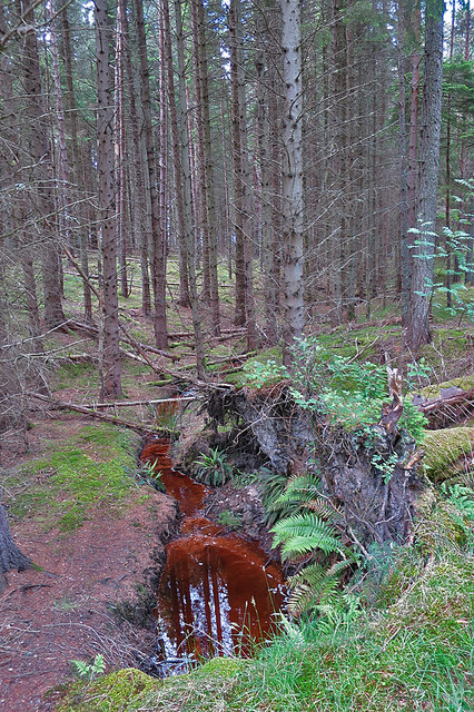
Burn and Root
The burn isn't on the map, but has been exposed to view since the tree beside it fell.
 Map © Crown Copyright")
TIP: Click the map for more Large scale mapping
- Grid Square
- NJ3660, 9 images (more nearby 🔍)
- Photographer
- Anne Burgess (more nearby)
- Date Taken
- Thursday, 11 June, 2020 (more nearby)
- Submitted
- Thursday, 11 June, 2020
- Subject Location
-
OSGB36:
 NJ 3656 6059 [10m precision]
WGS84: 57:37.8466N 3:3.8406W - Camera Location
-
OSGB36: NJ 3656 6058
- View Direction
- West-northwest (about 292 degrees)