2020
SE3293 : The west end of Myers Lane
taken 4 years ago, near to Thrintoft, North Yorkshire, England
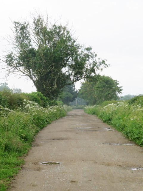
The west end of Myers Lane
Despite a recent heavy rainstorm, the lane looks OK for a trainers walk, but much mud lies ahead.
 Map © Crown Copyright")
TIP: Click the map for more Large scale mapping
- Grid Square
- SE3293, 14 images (more nearby 🔍)
- Photographer
- Gordon Hatton (more nearby)
- Date Taken
- Saturday, 13 June, 2020 (more nearby)
- Submitted
- Saturday, 13 June, 2020
- Subject Location
-
OSGB36:
 SE 3267 9341 [10m precision]
WGS84: 54:20.1127N 1:29.9442W - Camera Location
-
OSGB36: SE 3261 9342
- View Direction
- EAST (about 90 degrees)