2008
SE0374 : East Gill Dyke
taken 16 years ago, near to West Gill Dike [water Feature], North Yorkshire, Great Britain
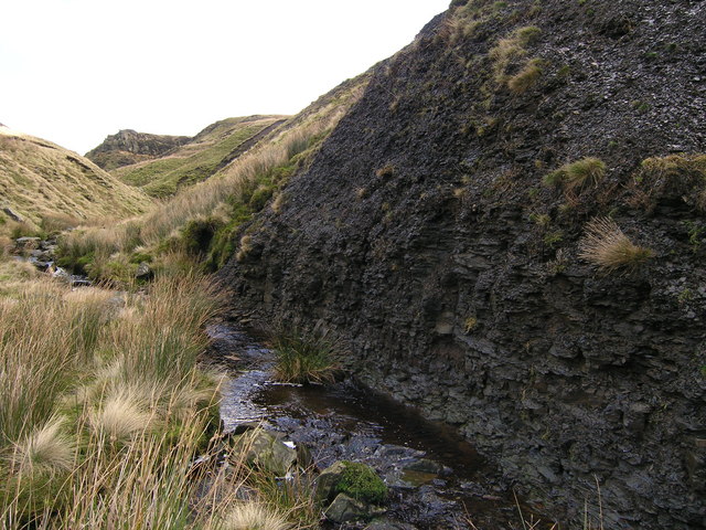
East Gill Dyke
The gill has cut through the thinly bedded and fractured shale beds leaving this fine exposure.
 Map © Crown Copyright")
TIP: Click the map for more Large scale mapping
- Grid Square
- SE0374, 5 images (more nearby 🔍)
- Photographer
- Mick Borroff (more nearby)
- Date Taken
- Sunday, 6 January, 2008 (more nearby)
- Submitted
- Sunday, 6 January, 2008
- Subject Location
-
OSGB36:
 SE 035 744 [100m precision]
WGS84: 54:9.9558N 1:56.7999W - Camera Location
-
OSGB36: SE 035 744
- View Direction
- East-northeast (about 67 degrees)