2020
NY7569 : The road from Greenlee
taken 4 years ago, 4 km E of Whiteside, Northumberland, England
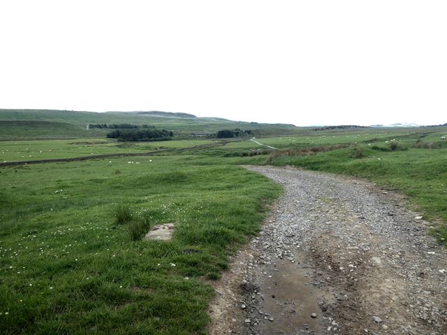
The road from Greenlee
 Map © Crown Copyright")
TIP: Click the map for more Large scale mapping
- Grid Square
- NY7569, 47 images (more nearby 🔍)
- Photographer
- Oliver Dixon (more nearby)
- Date Taken
- Tuesday, 23 June, 2020 (more nearby)
- Submitted
- Tuesday, 23 June, 2020
- Subject Location
-
OSGB36:
 NY 7514 6952 [10m precision]
WGS84: 55:1.1758N 2:23.4205W - Camera Location
-
OSGB36: NY 75218 69605
- View Direction
- Southwest (about 225 degrees)