2020
TL0177 : Wheat field near Top Lodge
taken 4 years ago, near to Thrapston, North Northamptonshire, England
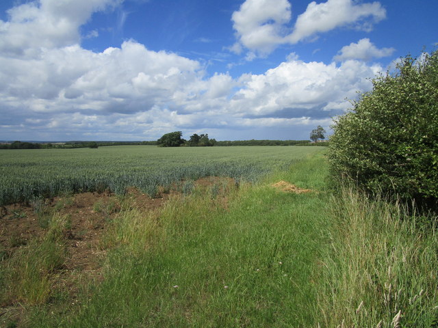
Wheat field near Top Lodge
 Map © Crown Copyright")
TIP: Click the map for more Large scale mapping
- Grid Square
- TL0177, 14 images (more nearby 🔍)
- Photographer
- Jonathan Thacker (more nearby)
- Date Taken
- Sunday, 28 June, 2020 (more nearby)
- Submitted
- Monday, 29 June, 2020
- Subject Location
-
OSGB36:
 TL 0103 7729 [10m precision]
WGS84: 52:23.0599N 0:31.0215W - Camera Location
-
OSGB36: TL 0107 7714
- View Direction
- North-northwest (about 337 degrees)