2020
ST5066 : Tinker's Lane near Oatfield Pool
taken 4 years ago, near to Downside, North Somerset, England
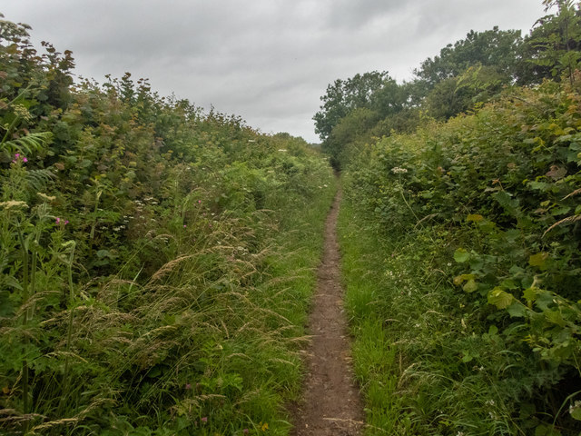
Tinker's Lane near Oatfield Pool
This is Tinker's Lane, a view taken from near the NE corner of Oatfield Pool ST5066 : Oatfield Pool. Beyond the obvious, I don't know why it came by the name. Freeman's Quarry threatens it from the east.
 Map © Crown Copyright")
TIP: Click the map for more Large scale mapping
- Grid Square
- ST5066, 29 images (more nearby 🔍)
- Photographer
- Neville Goodman (more nearby)
- Date Taken
- Tuesday, 30 June, 2020 (more nearby)
- Submitted
- Thursday, 2 July, 2020
- Subject Location
-
OSGB36:
 ST 509 668 [100m precision]
WGS84: 51:23.9020N 2:42.4213W - Camera Location
-
OSGB36: ST 508 667
- View Direction
- North-northeast (about 22 degrees)