2020
NT2459 : B7026 Northbound
taken 4 years ago, near to Howgate, Midlothian, Scotland
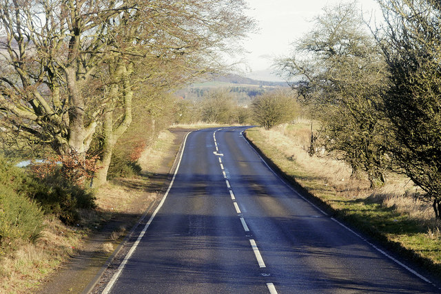
B7026 Northbound
The B7026 is a link road running for 3 miles between Howgate and Auchendinny, passing to the east of the town of Penicuik.
 Map © Crown Copyright")
TIP: Click the map for more Large scale mapping
- Grid Square
- NT2459, 20 images (more nearby 🔍)
- Photographer
- David Dixon (more nearby)
- Date Taken
- Tuesday, 3 March, 2020 (more nearby)
- Submitted
- Friday, 3 July, 2020
- Subject Location
-
OSGB36:
 NT 247 594 [100m precision]
WGS84: 55:49.3556N 3:12.1382W - Camera Location
-
OSGB36: NT 247 593
- View Direction
- NORTH (about 0 degrees)