1989
NM9896 : Glen Kingie
taken 34 years ago, 5 km NW of Murlaggan, Highland, Scotland
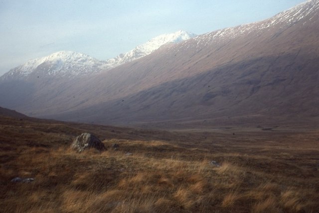
Glen Kingie
View across the glen of Sgùrr Beag and Sgùrr Mòr taken after traverse of the ridge.
 Map © Crown Copyright")
TIP: Click the map for more Large scale mapping
- Grid Square
- NM9896, 5 images (more nearby 🔍)
- Photographer
- Richard Webb (more nearby)
- Date Taken
- Friday, 29 December, 1989 (more nearby)
- Submitted
- Saturday, 4 July, 2020
- Subject Location
-
OSGB36:
 NM 9857 9627 [10m precision]
WGS84: 57:0.8084N 5:19.1593W - Camera Location
-
OSGB36: NM 9892 9613
- View Direction
- West-northwest (about 292 degrees)