2020
TG2309 : St Saviour's Lane
taken 4 years ago, near to Norwich, Norfolk, England
This is 1 of 2 images, with title starting with St Saviour's in this square
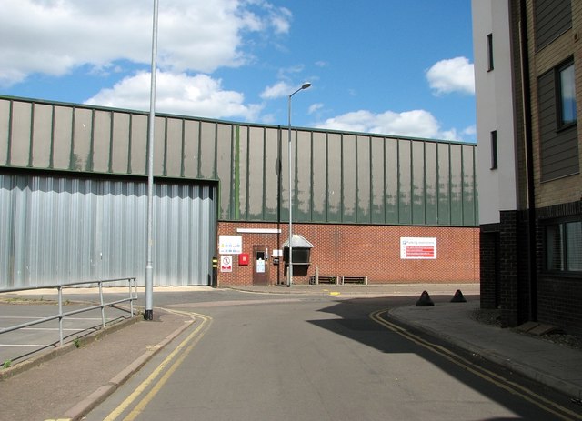
St Saviour's Lane
The Smurfit Kappa factory can be seen in the background.
 Map © Crown Copyright")
TIP: Click the map for more Large scale mapping
- Grid Square
- TG2309, 1928 images (more nearby 🔍)
- Photographer
- Evelyn Simak (more nearby)
- Date Taken
- Sunday, 5 July, 2020 (more nearby)
- Submitted
- Monday, 6 July, 2020
- Subject Location
-
OSGB36:
 TG 2327 0926 [10m precision]
WGS84: 52:38.1078N 1:17.8865E - Camera Location
-
OSGB36: TG 2321 0924
- View Direction
- East-northeast (about 67 degrees)