2020
SE7730 : Burland Lane towards Long Lane
taken 4 years ago, near to Portington, East Riding of Yorkshire, England
This is 1 of 3 images, with title starting with Burland Lane in this square
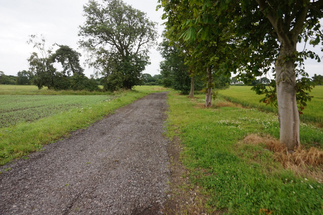
Burland Lane towards Long Lane
 Map © Crown Copyright")
TIP: Click the map for more Large scale mapping
- Grid Square
- SE7730, 19 images (more nearby 🔍)
- Photographer
- Ian S (more nearby)
- Date Taken
- Wednesday, 1 July, 2020 (more nearby)
- Submitted
- Tuesday, 7 July, 2020
- Subject Location
-
OSGB36:
 SE 7768 3024 [10m precision]
WGS84: 53:45.7639N 0:49.3874W - Camera Location
-
OSGB36: SE 7765 3033
- View Direction
- South-southeast (about 157 degrees)