2011
NO4030 : River Tay
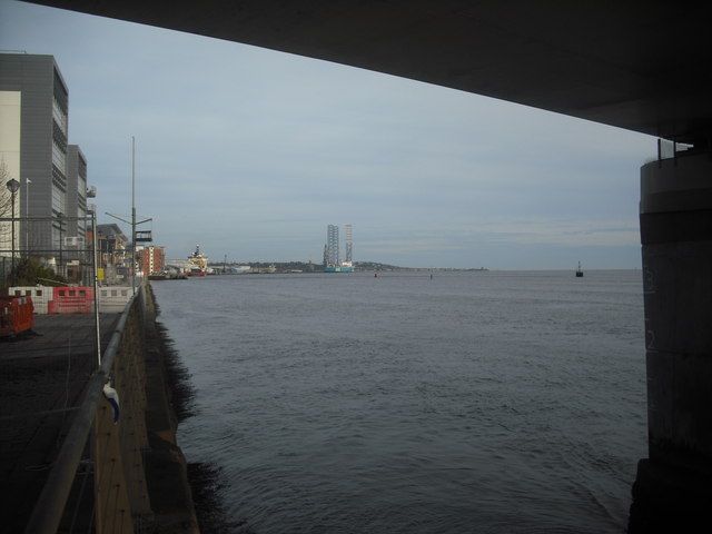
taken 12 years ago, near to Tay Road Bridge, Perth And Kinross, Scotland
River Tay
From under the Tay road Bridge
 Map © Crown Copyright")
TIP: Click the map for more Large scale mapping
- Grid Square
- NO4030, 877 images (more nearby 🔍)
- Photographer
- Jim Smillie (more nearby)
- Date Taken
- Saturday, 5 November, 2011 (more nearby)
- Submitted
- Tuesday, 21 July, 2020
- Subject Location
-
OSGB36:
 NO 4094 3011 [10m precision]
WGS84: 56:27.5652N 2:57.5972W - Camera Location
-
OSGB36: NO 4079 3007
- View Direction
- East-northeast (about 67 degrees)