2020
NJ9613 : Heading for Blackdog beach
taken 4 years ago, near to Blackdog, Aberdeenshire, Scotland
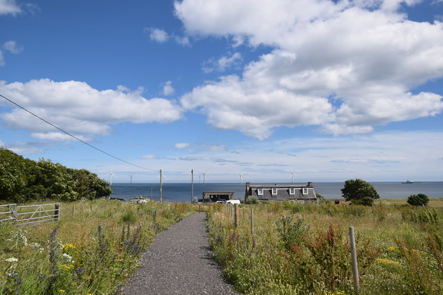
Heading for Blackdog beach
The new path seems to be associated with the substation for the offshore wind turbines visible in the distance.
 Map © Crown Copyright")
TIP: Click the map for more Large scale mapping
- Grid Square
- NJ9613, 19 images (more nearby 🔍)
- Photographer
- Bill Harrison (more nearby)
- Date Taken
- Saturday, 18 July, 2020 (more nearby)
- Submitted
- Thursday, 23 July, 2020
- Subject Location
-
OSGB36:
 NJ 9617 1399 [10m precision]
WGS84: 57:12.9989N 2:3.9032W - Camera Location
-
OSGB36: NJ 9613 1399
- View Direction
- EAST (about 90 degrees)