2020
TL1608 : Charmouth Road
taken 4 years ago, near to St Albans, Hertfordshire, England
This is 1 of 6 images, with title Charmouth Road in this square
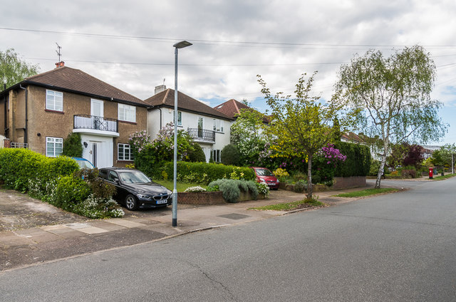
Charmouth Road
Road developed mainly in the c1930s (first appearing on the 1939 1:2,500 map).
 Map © Crown Copyright")
TIP: Click the map for more Large scale mapping
- Grid Square
- TL1608, 40 images (more nearby 🔍)
- Photographer
- Ian Capper (more nearby)
- Date Taken
- Friday, 1 May, 2020 (more nearby)
- Submitted
- Saturday, 25 July, 2020
- Subject Location
-
OSGB36:
 TL 160 083 [100m precision]
WGS84: 51:45.7047N 0:19.1526W - Camera Location
-
OSGB36: TL 161 083
- View Direction
- North-northwest (about 337 degrees)