2020
SO0725 : Nant Menasgin below Llanfrynach Bridge
taken 4 years ago, near to Llanfrynach, Powys, Wales
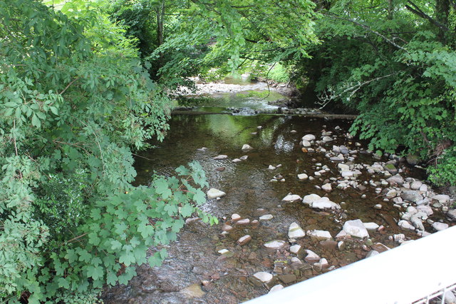
Nant Menasgin below Llanfrynach Bridge
The line of a weir can just be seen.
 Map © Crown Copyright")
TIP: Click the map for more Large scale mapping
- Grid Square
- SO0725, 105 images (more nearby 🔍)
- Photographer
- M J Roscoe (more nearby)
- Date Taken
- Friday, 24 July, 2020 (more nearby)
- Submitted
- Tuesday, 28 July, 2020
- Subject Location
-
OSGB36:
 SO 0751 2562 [10m precision]
WGS84: 51:55.2836N 3:20.7781W - Camera Location
-
OSGB36: SO 0749 2562
- View Direction
- East-southeast (about 112 degrees)