2017
SD7469 : Benchmark on former mill on eastern extension of Eggshell Lane
taken 7 years ago, near to Clapham, North Yorkshire, England
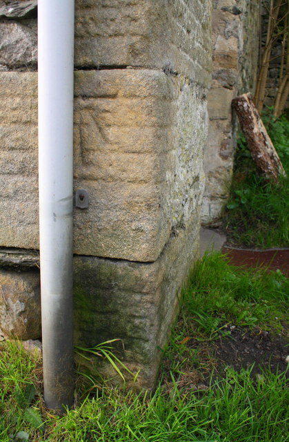
Benchmark on former mill on eastern extension of Eggshell Lane
Ordnance Survey cut mark benchmark described on the Bench Mark Database at Link
 Map © Crown Copyright")
TIP: Click the map for more Large scale mapping
- Grid Square
- SD7469, 316 images (more nearby 🔍)
- Photographer
- Roger Templeman (more nearby)
- Date Taken
- Thursday, 5 October, 2017 (more nearby)
- Submitted
- Friday, 31 July, 2020
- Subject Location
-
OSGB36:
 SD 7456 6951 [10m precision]
WGS84: 54:7.2491N 2:23.4429W - Camera Location
-
OSGB36: SD 7456 6951
- View Direction
- Northeast (about 45 degrees)