2020
TL3039 : Quarry view
taken 4 years ago, 3 km from Litlington, Cambridgeshire, England
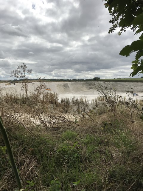
Quarry view
 Map © Crown Copyright")
TIP: Click the map for more Large scale mapping
- Grid Square
- TL3039, 58 images (more nearby 🔍)
- Photographer
- Dave Thompson (more nearby)
- Date Taken
- Tuesday, 28 July, 2020 (more nearby)
- Submitted
- Friday, 31 July, 2020
- Subject Location
-
OSGB36:
 TL 3030 3935 [10m precision]
WGS84: 52:2.2351N 0:6.1073W - Camera Location
-
OSGB36: TL 30292 39370
- View Direction
- Southeast (about 135 degrees)